Geofence
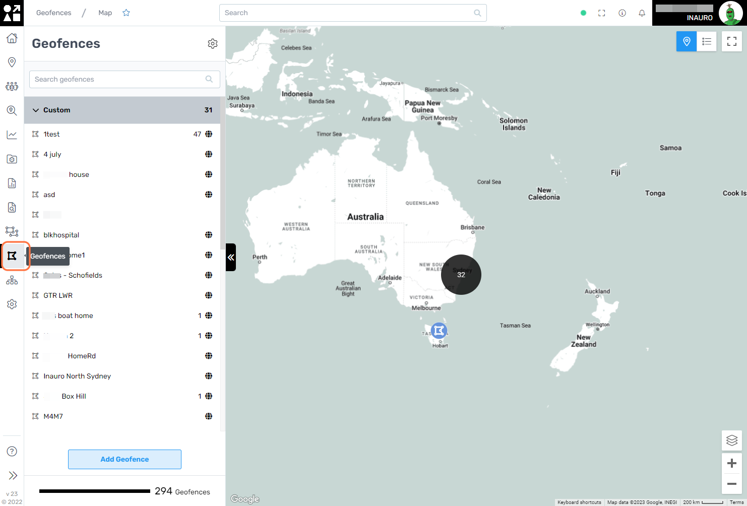
To access this menu, click on the Geometric Icon - Geofence, right under the Dashboards Menu.
Geofences are employed to establish virtual boundaries within geographical areas, serving as a powerful tool for location-based management and monitoring. By defining specific geographic perimeters, organizations can gain precise control over assets within designated zones.
This screen offers additional functionalities:
Search Geofences;
Change the visualisation to list or map;
Add a Geofence.
1. Snapshot
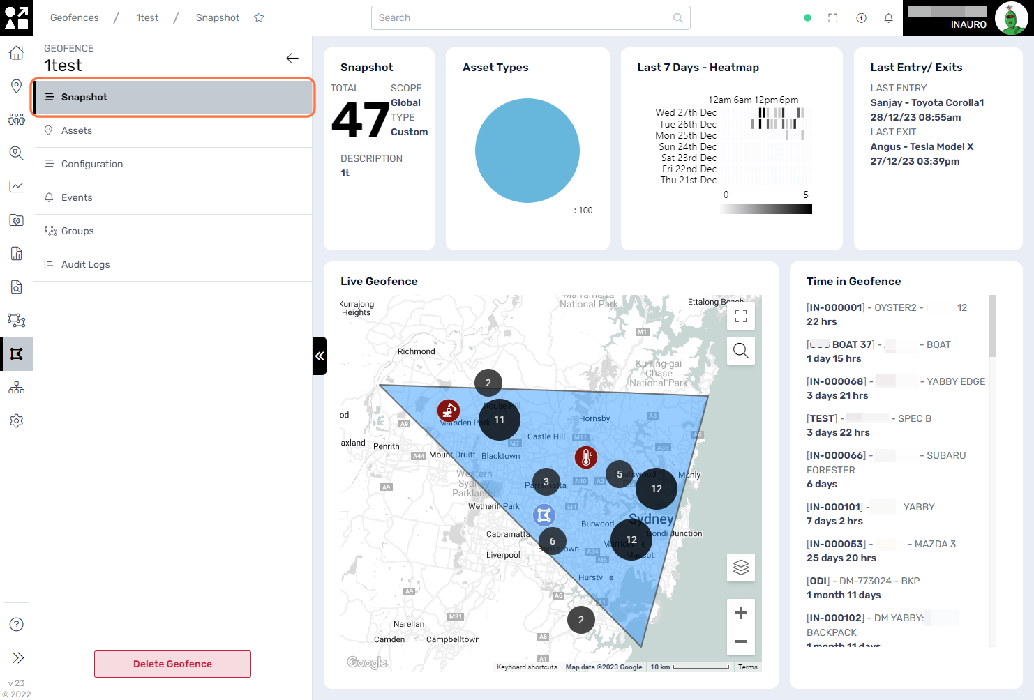
Select a geofence from either the list or the map to access a comprehensive view of all its defining characteristics. This user-friendly feature enables a detailed examination of the geofence, allowing users to review parameters, dimensions, and associated settings. By providing a centralized location for in-depth exploration, this functionality ensures a seamless and efficient experience in understanding and managing geofences within Perspio.
2. Assets
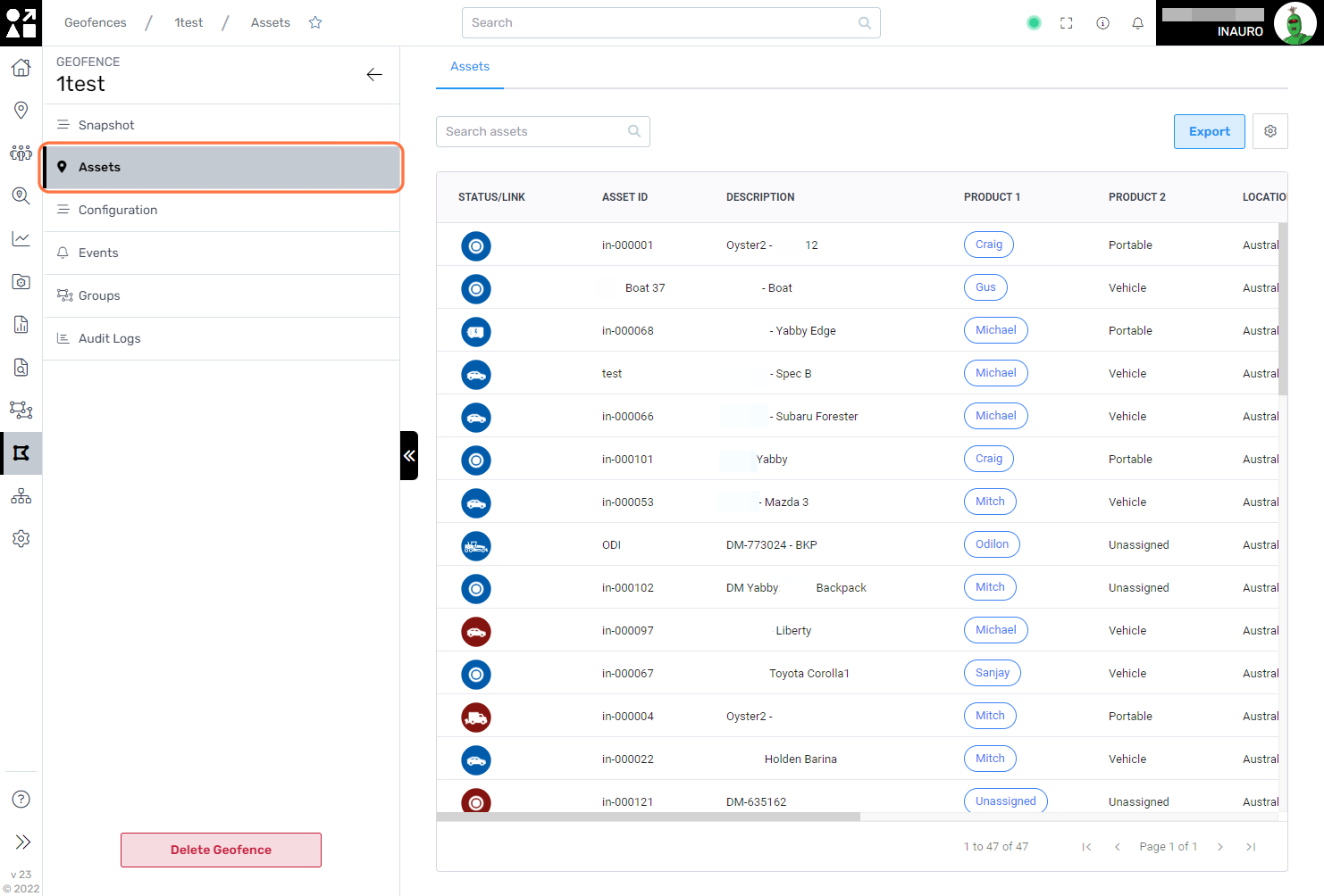
Utilize this screen to gain insight into all assets presently located within the designated geofence.
A comprehensive overview allows for real-time monitoring, ensuring that you stay informed about the precise location and status of assets within the defined geographical boundary.
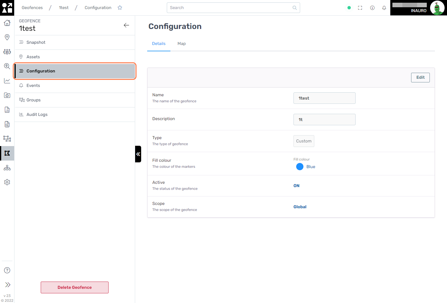
3. Configuration
Employ this screen to seamlessly modify the primary information associated with a geofence. Whether updating the name, adjusting geographical parameters, or refining other essential details, this interface streamlines the process of adapting geofences to meet evolving requirements.
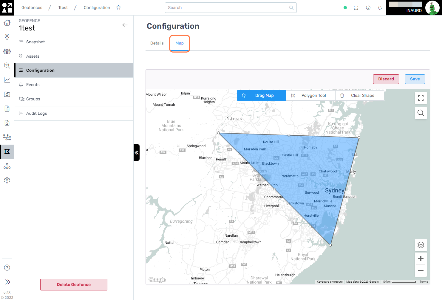
Select Edit in the top right corner of the map to access the Geofence editing options.
This feature enables a dynamic modification of the Geofence directly on the map. Utilize the Polygon Tool button to reshape the geofence according to specific requirements or opt to clear the shape entirely by clicking Clear Shape. This intuitive functionality provides users with a versatile toolkit for precise geofence adjustments, ensuring adaptability and ease of use in tailoring spatial parameters to meet changing needs or evolving geographical considerations.
4. Events
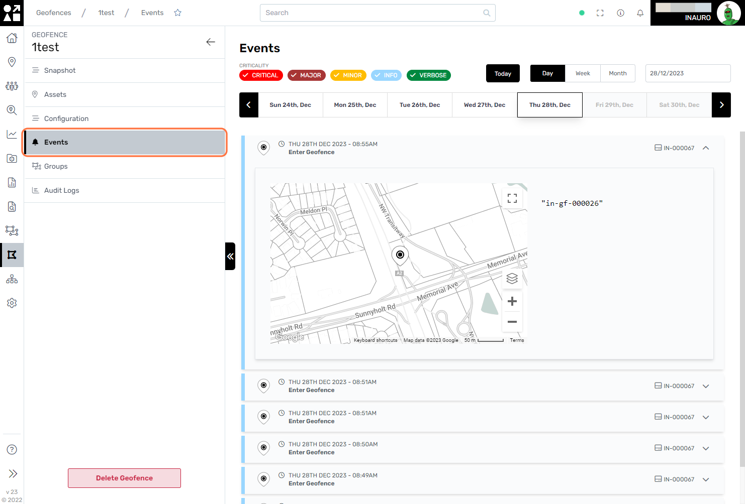
Navigate to this screen to review and analyze the events that transpired within the defined geofence. This feature provides a comprehensive overview of activities, allowing users to monitor and understand the specific events occurring within the designated geographical boundary.
By leveraging this functionality, you can gain valuable insights into asset movements, trigger occurrences, or other relevant events, facilitating a more informed and proactive approach to managing activities within the geofenced area.
Select a specific event to gain detailed insights into the current location of the associated asset within the geofenced area. This allows users to pinpoint and visualize the precise spatial coordinates of the asset at the time of the recorded event.
5. Groups
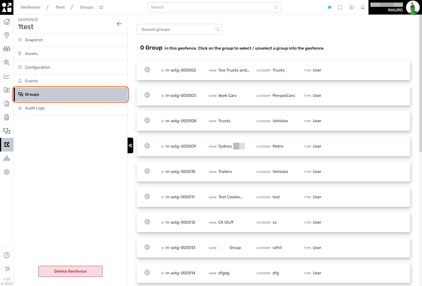
Use this screen to gain insights into groups of assets currently located within the Geofence. In the Configuration menu, you have the option to configure groups to behave either globally or specifically by group. When set to Global, groups are encompassed in the geofence based on the assets currently inside. Alternatively, when configured for Groups, this menu provides a detailed view of the specific groups currently residing within the geofenced area. This nuanced approach allows for flexible monitoring, accommodating various organizational structures and preferences for a tailored and insightful perspective on asset groupings within the geofence.
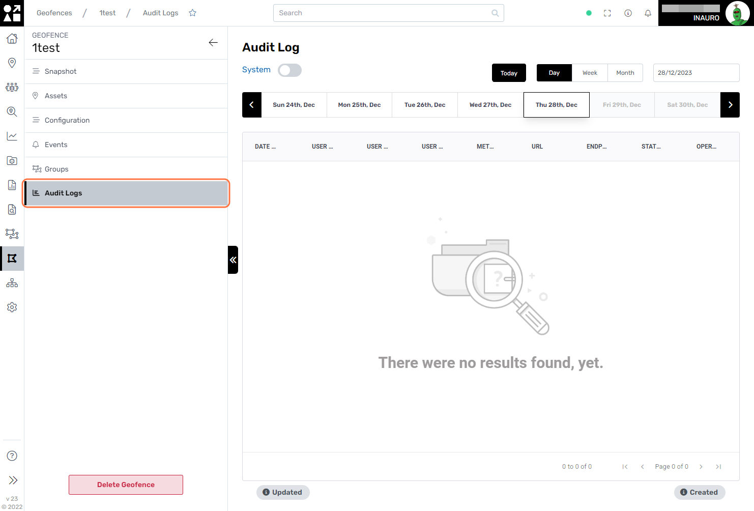
6. Audit Logs
Explore this menu to conduct a thorough audit and analysis of all modifications made within this Geofence, along with detailed information on the individuals responsible for these changes. By leveraging the audit logs, you gain comprehensive insights into the history of alterations, ensuring transparency and accountability.
